MountainMap app
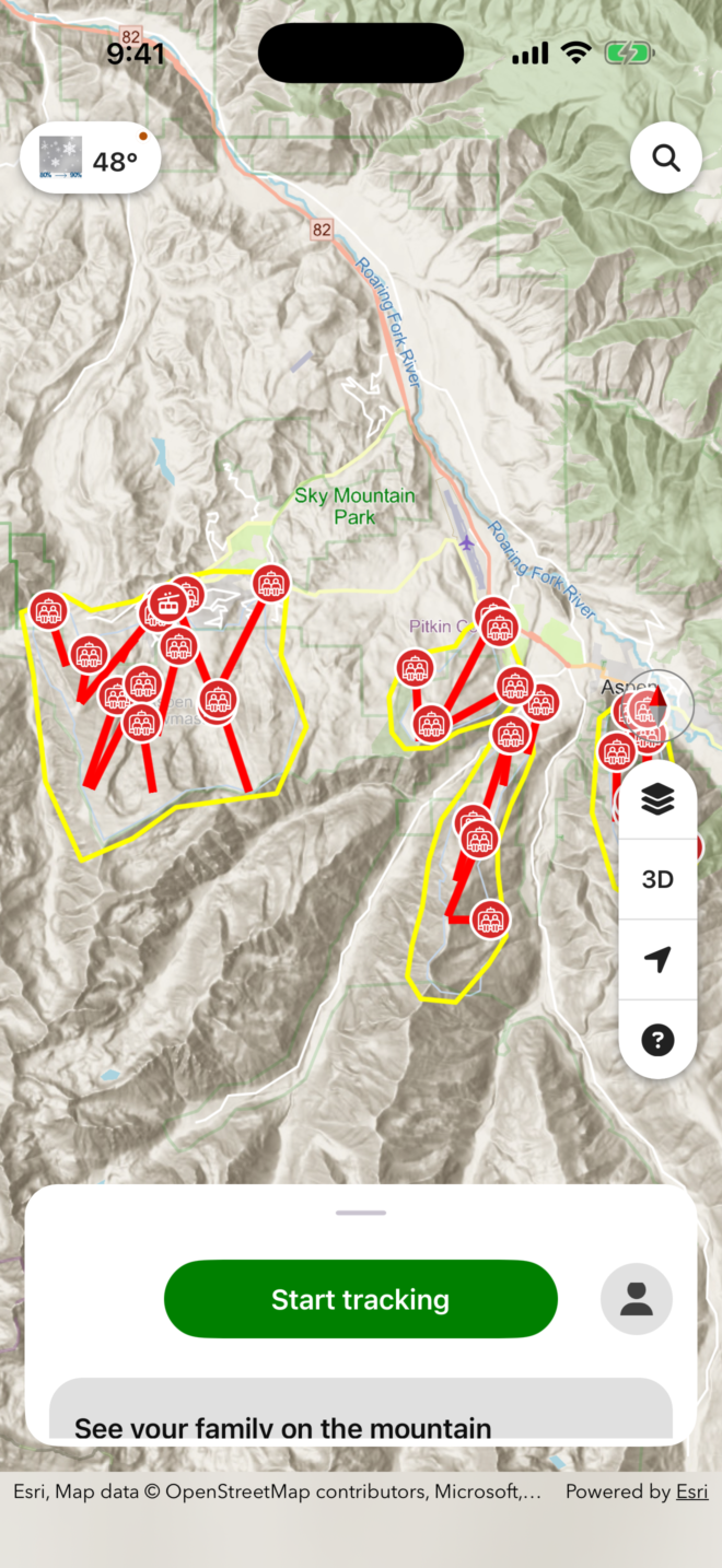
Aspen Snowmass Mountain Map.
Explore Aspen Mountain with an interactive trail map. Find runs, lifts, and key landmarks across one of Colorado's most iconic ski resorts.


Made for the mountain
Carry the map.
Know the place.
The Aspen Snowmass Mountain Map gives you a detailed, interactive view of Aspen Mountain — from the legendary Silver Queen Gondola at the base to the summit ridgelines above 11,000 feet.
Use the app to explore ski runs across all ability levels, from gentle intermediate cruisers like Dipsy Doodle and Spar Gulch to expert terrain like Walsh's and the Silver Queen Ridge. Buildings, lifts, and resort landmarks are mapped so you always know where you are on the mountain.
- Interactive trail and lift map
- Ski runs by difficulty: beginner through expert
- Named landmarks including The Sundeck, Bonnie's, and Ruthie's
- Resort boundary and area overview
Whether you're lapping the FIS Trail or hunting glades off the back of Bell, the Aspen Snowmass Mountain Map keeps you oriented all day.
Your information
Your data.
Your control.
You can request a copy of your personal data or permanently delete your account from your account settings.
Manage personal data ↗Community
See who’s
leading.
👑 King of the Mountain ⛰️
| # | Name | ➡️Distance | ⬆️Gain | ⬇️Loss | Points |
|---|---|---|---|---|---|
| 0 | Jon | 0 | 0 | 0 | 0 |
